
Categories: Bike MTB, Hiking, Pilgrimage, Thematic routes, Trail running
Distance: 8.39Km
Elevation+: 447m
Elevation-: 445m
Difficulty: 2
Route type: Circuit
Marked/Virtual: virtual
🥾 Nature, history and relaxation in Faraoani
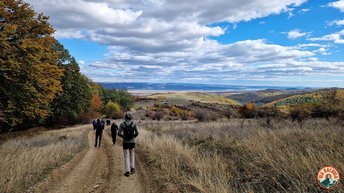
Get your boots ready for a circuit that perfectly blends the tranquillity of the forest with sweeping panoramas! The Buchila Ciciola (St Martin’s) trail is an invitation to explore and relax, combining the stories of the place with the fairytale landscapes of Faraoani.
Named ‘St Martin’s’ in homage to the town’s famous 1435 historic church, this tour will completely disconnect you from the hustle and bustle of everyday life and take you on a walk through history.
- Start / Finish: Valea Dragă, Faraoani, Bacău
- Route type: Circuit
- > Hiker’s note: The trail does not physically pass by St Martin’s church, but bears its name as a symbol and homage to the antiquity of these places.
🗺️ Landmarks on the route
- Departure from Dear Valley: The journey starts smoothly from this idyllic valley, gradually carrying you towards the domed peaks of Faraoani.
- Buchila Chapel: This is the viewpoint of the trail. Once here, your effort is rewarded with a spectacular panoramic view of the entire valley. It’s the …
Continue Reading


